Project Elevation
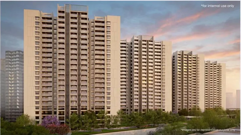
The tower visual communicates the proposed architectural character, balcony rhythm, landscaped frontage and overall scale of the residential development.
Explore the supplied Embassy Astra project elevation, Hebbal connectivity artwork, location map, project-offering creative and unit-plan reference. Marketing images are for representation; final specifications and views may differ.
Project visuals help buyers understand the design direction and surrounding connectivity, but they should not replace approved drawings or a site visit. Compare elevation images with tower plans, use the location map as a broad guide, and request unit-specific floor plans and view details before booking.
The tower visual communicates the proposed architectural character, balcony rhythm, landscaped frontage and overall scale of the residential development.
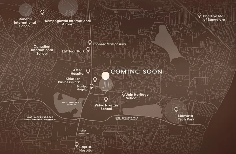
The map highlights the wider relationship with Bellary Road, Outer Ring Road, airport access, employment parks, schools, hospitals and shopping destinations.
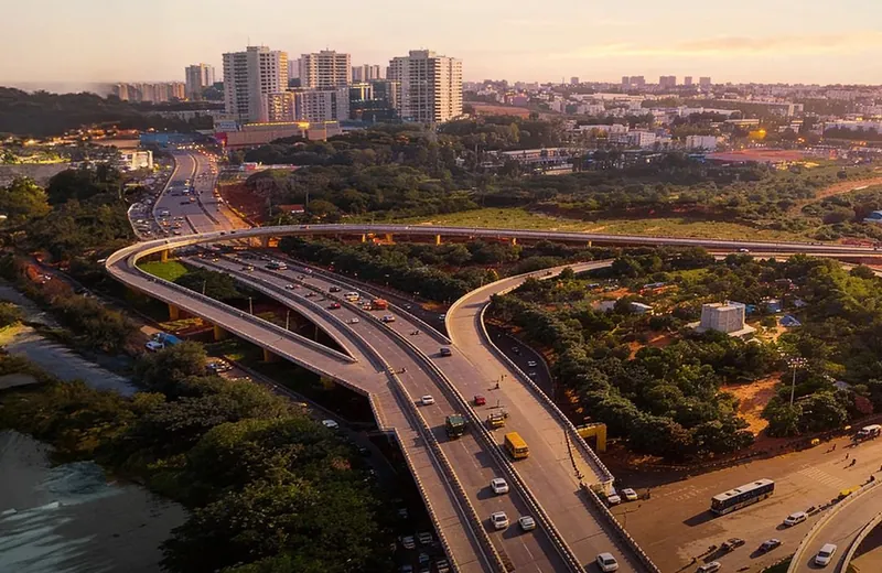
The aerial road image represents the broader Hebbal connectivity environment and should be used as a visual guide rather than a travel-time commitment.
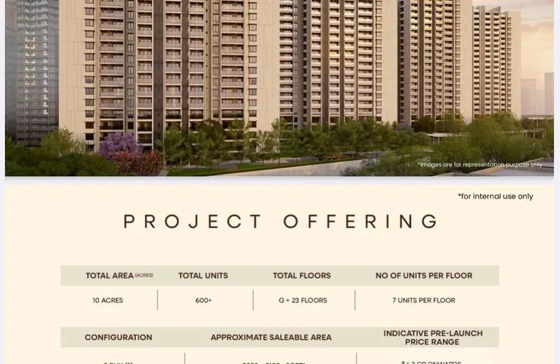
The supplied pricing creative summarises indicative land area, units, floors, configurations, sizes and starting price ranges for early comparison.
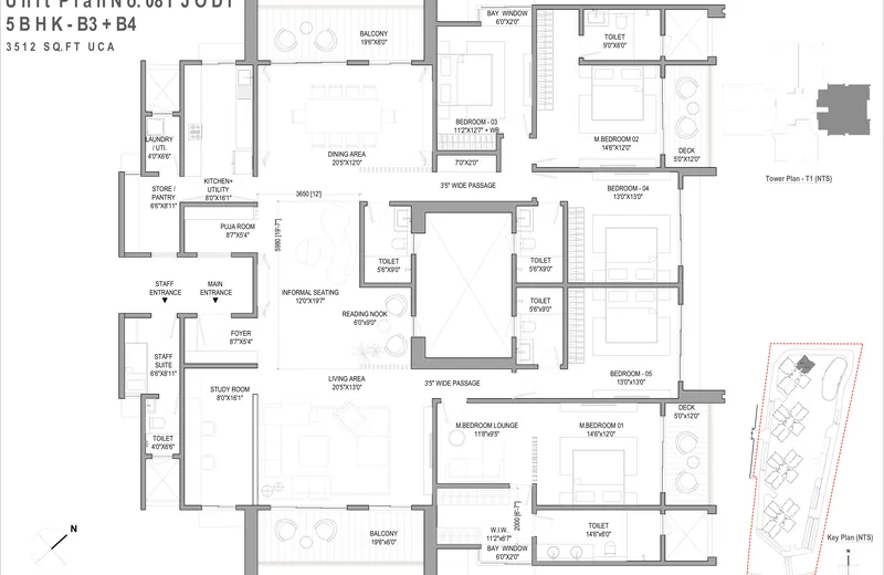
The uploaded drawing illustrates a combined 5 BHK layout with detailed room dimensions, but its applicability to Embassy Astra must be verified.
Final views, materials, dimensions, landscaping and amenities should be matched with approved plans, specifications and the signed agreement.
Gallery images are useful for understanding design intent, but they may include artistic enhancements, conceptual landscaping and early-stage information. During a site visit, compare the visuals with the actual approach road, surroundings, orientation and construction progress. Request current drawings and written specifications for any feature that affects your purchase decision.